Surfer North of Kaikoura
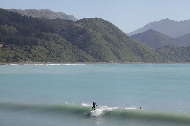
He wiped out immediately after I took this shot.
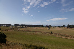
New Zealand Countryside
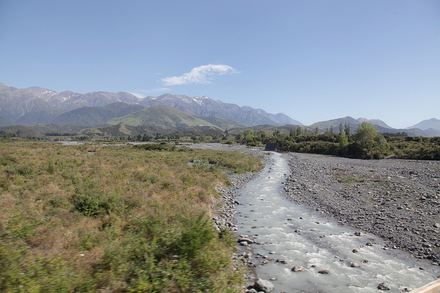
…with the Misty Mountains beyond.
Ferry to Wellington
The ferry I was on (the Kaitaki) is the largest ferry in New Zealand waters, it says here on my postcard. It’s about 600 feet long and can carry 1600 passengers and 600 cars. It’s big enough that you feel very little motion.


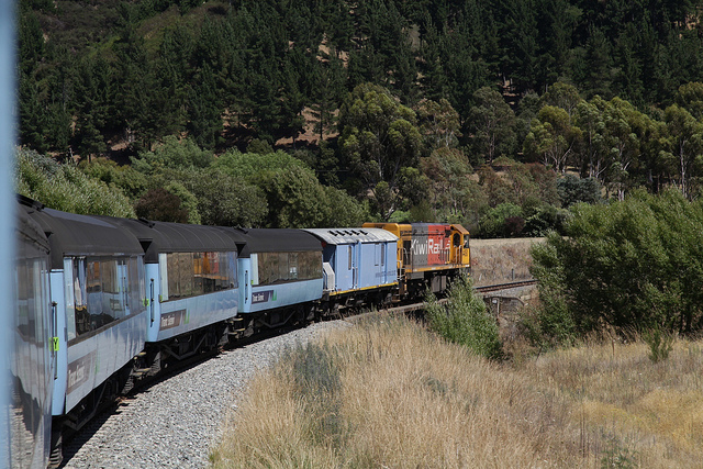
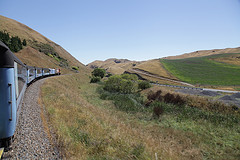
Train to Picton
Took a shuttle to the Christchurch train station and the train to Picton. Walked to the ferry and took that across to Wellington, then took a shuttle to the Wellington train station, which is adjacent to the central bus terminal. Took the number 7 bus to Victoria Street and walked three blocks to the motel. About 12 hours total.
The trains have been outfitted with all-new carriages. I’m told they’re quite nice. The one I was on had the old carriages. Nice enough, though. It was like Amtrak in the ’70s, before it started to fall apart. One noticeable difference is that they don’t slow down when they go through a town.
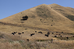
The Coastal Pacific line travels along the coast from Christchurch to Picton, which is near the top of the South Island. Most of the way it looks a lot like California, with farms and ranches, and brown hills beyond. Plenty of oak, cypress, and eucalyptus trees. The beaches were a bit rockier, the ocean was a bit greener, and sheep were more plentiful, but otherwise it was very California-like.
Riccarton Bush
The Riccarton Bush is an area of Christchurch containing part of the original forest that used to cover the the whole Canterbury area. It happened to be a few blocks from my hotel, so I went walking through it early one morning. I came across a tall, thin man wearing shorts.
“Birds,” he said, somewhat more intensely then the situation warranted.
“Yes,” I said. And there were.
He walked off, but a few minutes later I met him again coming down another path.
“It’s amazing to see this piece, right in the city. It used to cover this entire area.” He leaned in. “It’s the only piece remaining.”
Then he strode briskly away.
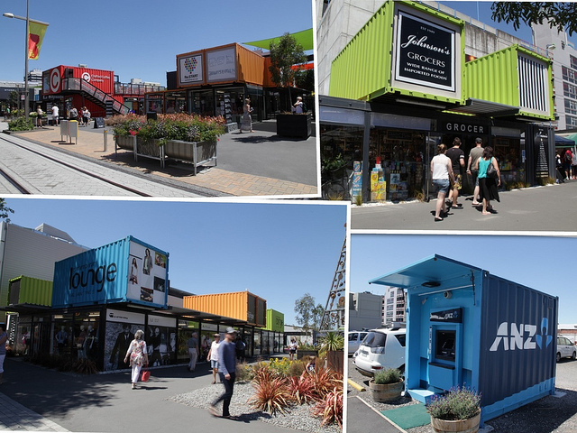
Re:START
Next to the Red Zone is a block-long shopping area where the buildings are all made out of shipping containers.
Shipping containers — Is there anything they can’t do?
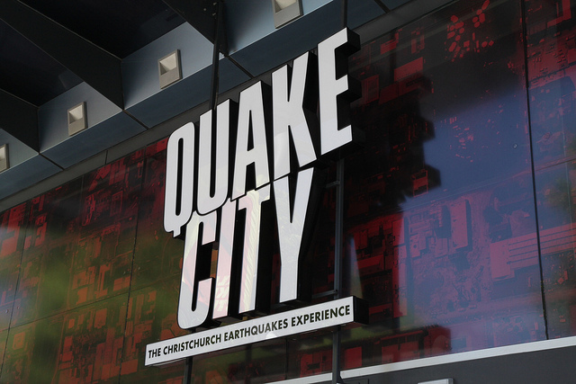
Quake City
Sure it was horrific, but that’s no reason not to make a tourist attraction out of it.
Red Zone
I took a tour of the Red Zone today. That’s the part of the downtown area that’s still cordoned off. It’s like touring a war zone or a scene from some post-apocalypse movie where everyone’s vanished. The city and the owners are deciding which buildings can be saved, which have to be destroyed, and how to demolish buildings safely. (A few days ago they found asbestos in one of the bank buildings.) Some buildings have concrete-filled shipping containers in front of them to keep them from falling over.
One problem is liquefaction. The whole area is an alluvial plain. During an earthquake (and during each of the hundreds of aftershocks), liquefied ooze shoots to the surface, causing foundations to shift and generally wreaking havoc. Some buildings that were found to be stable after the main earthquakes had to be demolished after smaller aftershocks made them unsalvageable.
I had to sign an assortment of waivers to take this tour, and they gave us a safety briefing on the bus full of dire warnings, then offered people a chance to leave. As far as I could tell, it wasn’t any more risky than walking around next to damaged buildings outside the Red Zone.
Muegano
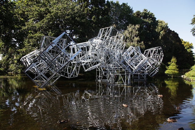
This installation is “intended to generate reflection about the implications of traditional house structures in Western culture,” it says here.
And it has, too. I’ve been reflecting and reflecting.